
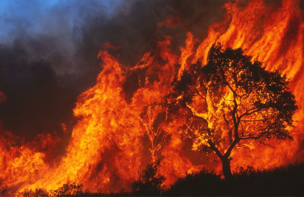
ICEYE, a Finnish provider of natural catastrophe services, is to release its beta wildfire insights product.
ICEYE’s product is a new satellite-based solution that will provide building-level data on satellite imagery and a combination of analytics and machine learning for US wildfire events. It will be able to capture data for any wildfire that impacts communities in the region.
Insurers will be able to use the ICEYE wildfire insights data to support multiple business functions including management event response activities and sizing portfolio loss. ICEYE wildfire insights will inform field adjuster allocation and deployment for a “more efficient” event response.
As part of its beta testing phase, ICEYE will invite select insurers to participate in the final testing of the product functionality prior to its planned general availability release in Q3 2023.
ICEYE’s synthetic-aperture radar constellation can monitor events on the ground irrespective of atmospheric conditions. The satellites will generate high-resolution imagery of building damage through clouds, at night and through smoke.
The hazard information will be provided to insurance companies within 24 hours of the initial analysis of the wildfire and at 24-hour intervals until the wildfire ceases to impact additional buildings.
Commenting on the announcement, Penelope KourKouli, ICEYE wildfire insights product manager, says: “Wildfire events are rapidly increasing in severity and frequency across the US. Insurers struggle to respond because they don’t have actionable insured building damage data in a timely, reliable manner.”
She adds: “The ICEYE wildfire insights product enables users to access ground-level hazard data for wildfire events in the US within hours of the damage from the event. Through our SAR constellation and data analysis capabilities, we provide a level of hazard insight and in timeframes that were not previously possible.”